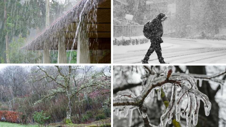
Have you ever looked out of the window and couldn’t tell if it was raining or snowing? I know this is confusing but this is actually a real thing.
Rain and snow mixed isn’t mother nature being indecisive. It’s a legit weather event that happens when temperatures are in the middle spot where water can’t decide if it wants to be frozen or liquid.
According to the American Meteorological Society, this type of mixed precipitation occurs because of specific temperature layers in the atmosphere that make snow melt partially.
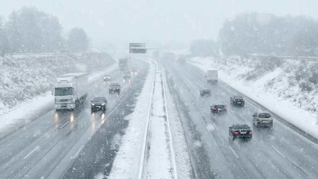
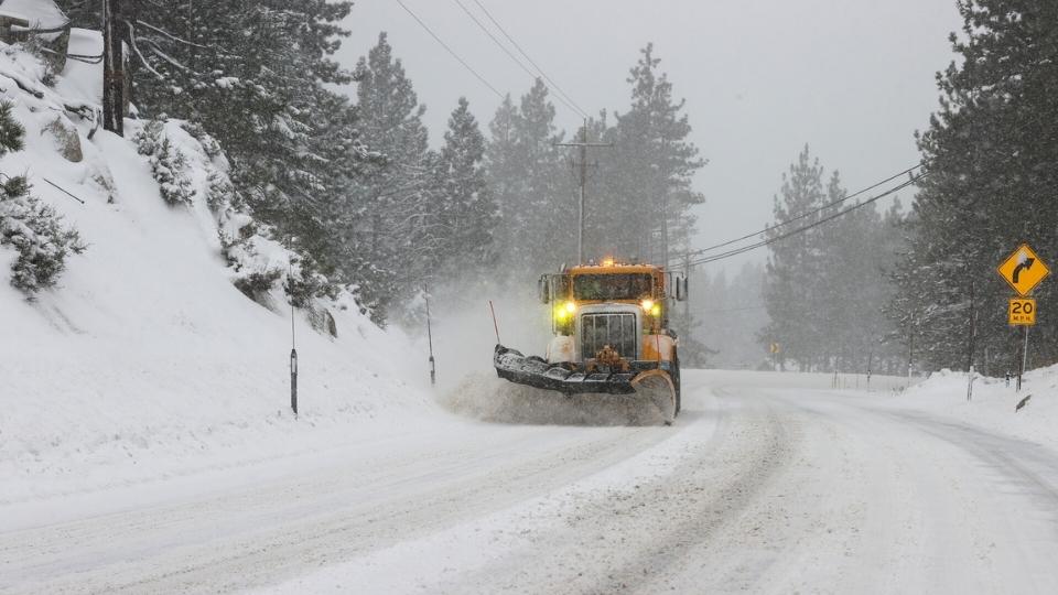
This stuff creates some of the trickiest road conditions. Not quite snow, not quite rain, only wet and slushy and a bit dangerous. It shows up during spring and fall when temperatures are around the freezing mark.
Understanding how rain and snow mixed works matters because it affects your morning commute, your weekend plans, and your mood to know what you have to deal with.
What “Rain and Snow Mixed” Is Called?
Here’s where things get confusing….
If you’re in the United States, meteorologists call this “mixed precipitation” or sometimes a “wintry mix.” But the term “sleet” means different depending on where you live.
According to the American Meteorological Society, people in the US use “sleet” to describe ice pellets. These small bouncy frozen balls that hit the windshield. But to the UK, they’ll call rain mixed with snow “sleet.”
So if you’re watching weather reports from different countries, you get mixed up. The term you’re looking for is plain “rain and snow mix” or “mixed precipitation.”
This is what happens when you get both types falling at the same time or switching back and forth fast.
How Does Rain and Snow Get Mixed? A Step-By-Step Process
The process depends almost entirely on temperature layers in the atmosphere. Not only what your thermometer says outside but what’s happening thousands of feet up in the air.
So, here is the step-by-step guide of how rain and snow mixed.
Role of Temperature
Temperature controls EVERYTHING here.
The key is understanding that air temperature isn’t the same from the ground. You may have freezing air at the surface but warmer air on the high level or the opposite. These layers create the different types of winter precipitation.
When temperatures hover right around 0°C (that’s 32°F), things get confused. The National Snow and Ice Data Center notes that mixed precipitation is becoming common in warming climates because we’re getting the marginal temperature situations.
Snow Formation in Clouds
Snow always starts as ice crystals in the clouds where it’s cold enough. Below 0°C up there and you get the beautiful ice crystals forming.
They start falling down toward the ground. What happens next depends entirely on what kind of air they fall through.
Melting Process
If these snowflakes fall through a layer of warm air, they start melting.
But here’s where it gets interesting. If the warm layer is thick enough, the snowflakes melt into raindrops. If it’s only a thin warm layer, they only partially melt. You end up with wet, sloppy snowflakes mixed with water droplets.
The partial melting is what gives you the classic rain-snow mix. It’s heavier and wetter than regular snow because it’s got liquid water mixed in with ice crystals.
Refreezing
This is another cold layer near the ground.
If the melted droplets fall through a deep layer of freezing air before hitting the ground, they refreeze into solid ice pellets, then it is sleet. You’ll hear it bouncing off surfaces.
But if that cold layer near the surface is shallow, the droplets don’t have time to refreeze. They stay liquid until they hit something and then they freeze on contact. This is what we say freezing rain and it’s the most dangerous type because it creates glaze ice on everything.
Rain-snow mix happens when you’ve got enough melting to make things slushy.
When and Where Does Rain and Snow Mix Occur?
This stuff doesn’t happen randomly. There are specific conditions that create mixed precipitation. So, let’s look at some of the reasons that this can happen.
Seasonal
Spring and fall are prime time for rain-snow mix.
Because temperatures are bouncing around the freezing mark. You’ll wake up to 28°F and by afternoon it’s 38°F. It is perfect for creating the atmospheric layers that cause mixed precipitation.
Winter can bring it too but only during temperature swings when warm air pushes in over cold ground.
Geographic Factor
If you live in the Midwest US, you know this weather too well.
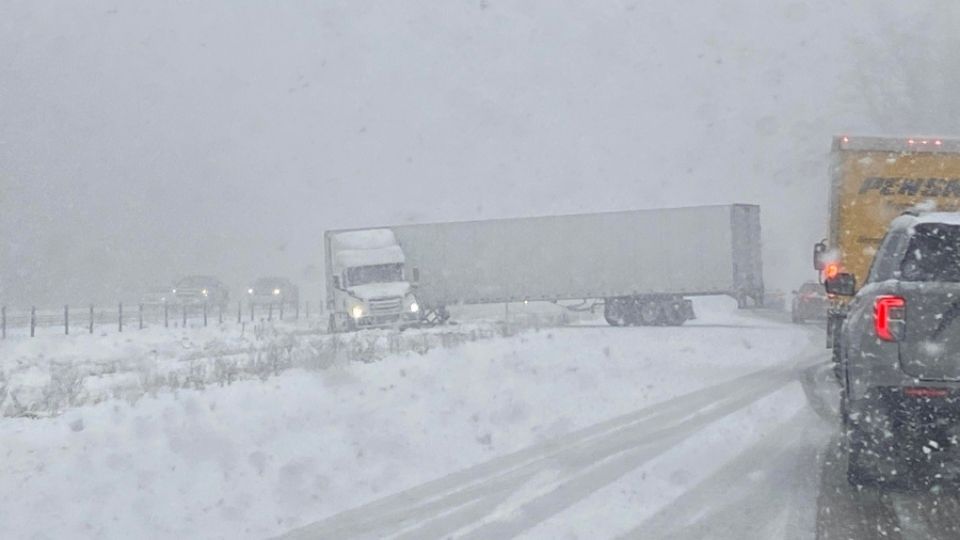
A recent weather report from Nebraska described how a rain-snow mix created slick roads and hazardous travel conditions. It’s common there during storm systems with marginal temperatures.
Places with elevation changes see it a lot too. Mountains can get pure snow while valleys a few miles away get rain mixed with snow. The temperature difference with altitude creates the layering effects.
Like it happens anywhere that sees temperatures hanging out between -1°C to +2°C is going to deal with mixed precipitation regularly.
Weather System
Warm fronts are the main reason here. When warm air slides up and over cold air at the surface, you get that classic setup. Cold air trapped at ground level with warm air above it is the perfect recipe for mixed precipitation.
Temperature inversions cause it too and that’s when you have warm air sitting on top of cold air, which is backwards from normal. These inversions happen more than you’d think and they mess with precipitation.
What is the Difference Between Rain vs Snow vs Sleet vs Freezing Rain?
Let’s clear this up once and for all because people mix these up a lot.
Snow is when temperatures stay below freezing the way down. Ice crystals form in the clouds and reach the ground till frozen. Like where nothing melts and it is nice and simple.
Rain happens when temperatures are above freezing from cloud to ground or when there’s a thick enough warm layer to melt everything. And it appears only in liquid water droplets.
Sleet is ice pellets. Snow melts completely in a warm layer then refreezes in a deep cold layer before hitting the ground. You’ll see and hear these little ice balls bouncing because they’re solid.
Freezing rain is dangerous. Liquid droplets that freeze the instant they touch anything. They fall through a warm layer but the cold layer near the surface is too thin to refreeze them in the air. It creates the slick glaze ice on roads, power lines and trees.
Rain-snow mix is the in-between state. There is only partial melting and no complete refreeze. You get slushy precipitation or bursts of rain alternating with bursts of snow. It is less hazardous than freezing rain but annoying and slippery.
The density is different too. Rain-snow mix is heavier and wetter than dry fluffy snow. It doesn’t pile up as much but what does accumulate is heavy and compact.
What are the impacts occurring by the mix of Rain and Snow?
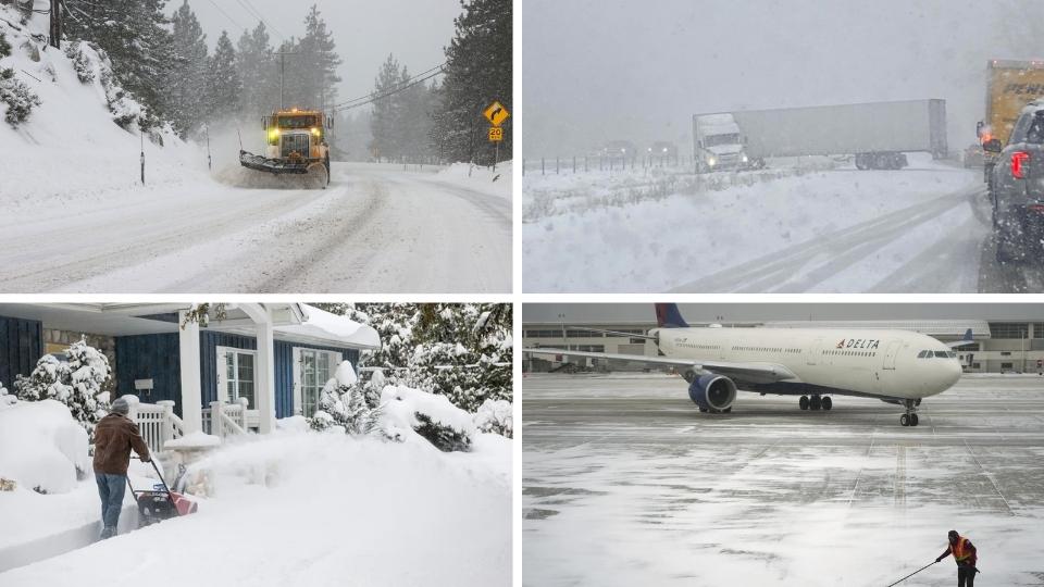
Mixed precipitation might seem less intense than a snowstorm but don’t underestimate it.
Road conditions get nasty fast. The slushy accumulation doesn’t look like much but it’s slippery. And when temperatures drop after the precipitation stops, all that slush refreezes into black ice.
Visibility drops because you’ve different sizes of particles in the air. Some snowflakes, some raindrops, all mixing together. It’s harder to see through than pure rain or pure snow.
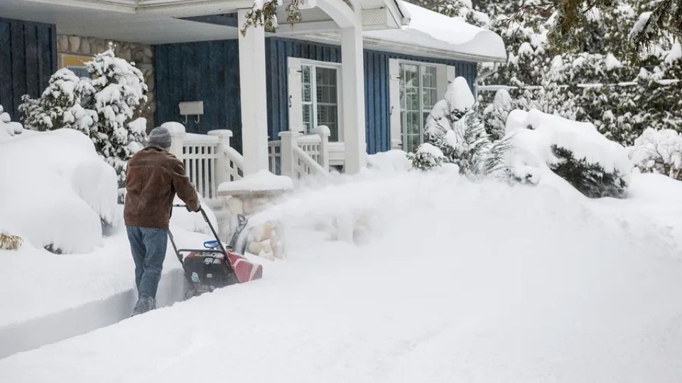
Surface accumulation is weird with mixed precipitation. You don’t get the big totals you’d see with snow but what does stick around is heavy and wet. The moisture content makes it hazardous even if there’s less.
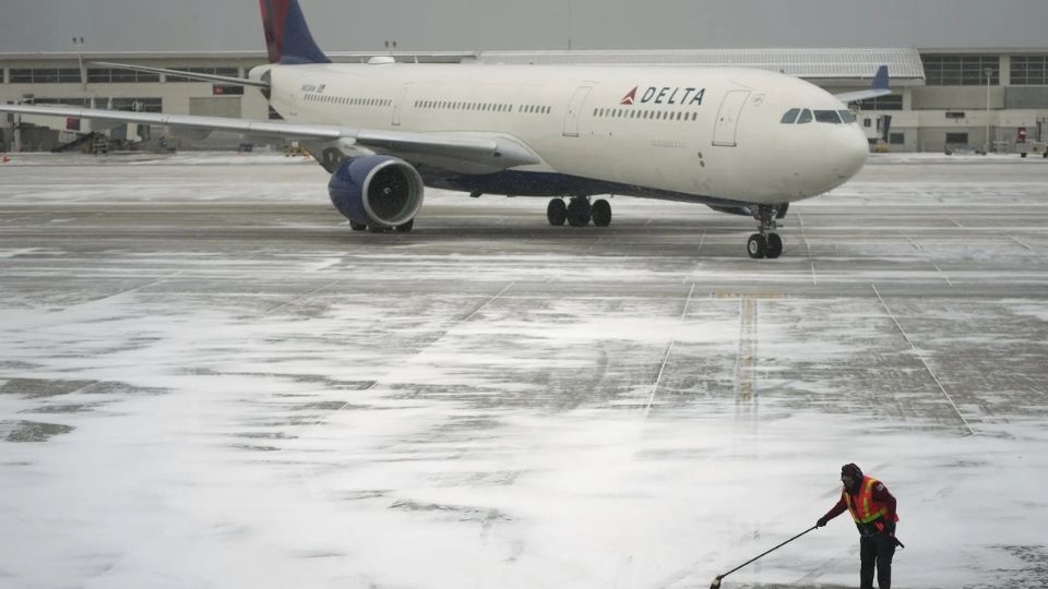
Aviation takes a serious hit. The American Meteorological Society points out that mixed precipitation increases icing risk for aircraft. It’s harder to predict how much ice will accumulate on plane surfaces.
The cryosphere is affected too. The National Snow and Ice Data Center studies this because mixed precipitation influences how snowpack forms. It changes albedo and affects melting rates.
Safety Tips To Consider In Rain and Snow Mixed Condition
When you see mixed precipitation in the forecast, here’s what you need to know:
- Slow down when driving. I mean slow down. These roads are slicker than they look and stopping distance increases big time.
- Increase following distance to at least 8-10 seconds behind the car in front of you. You need way more time to brake safely.
- Watch for black ice especially on bridges, overpasses, and shaded areas. These spots freeze first and stay frozen longest.
- Use your headlights even during the day. Visibility drops with mixed precipitation and you need other drivers to see you.
- Clear your windshield completely before driving. Not just a little peephole. The whole thing. And side windows too.
- Dress in layers if you’re going outside. Mixed precipitation means temperatures are right around freezing and that damp cold cuts through regular jackets.
- Stay informed about changing conditions. Mixed precipitation can switch to freezing rain or snow quickly as temperatures shift.
- Avoid unnecessary travel if possible. Seriously. If you don’t have to be out in it, stay home.
- Keep an emergency kit in your car with blankets, water, snacks, and a phone charger. Just in case.
Conclusion
Rain and Snow mixed precipitation isn’t just one thing but it’s a range of conditions that happen when atmospheric temperatures can’t decide between rain and snow.
Understanding what creates the rain-snow mix makes it less confusing when you’re staring out the window wondering what the heck is falling from the sky. These temperature layers in the atmosphere control everything from what forms in the clouds to what hits the ground.
Is it annoying? Absolutely.
Is it dangerous? It can be.
But now you know what’s happening and how to stay safe when weather gets weird. Next time the forecast calls for mixed precipitation, you’ll know what to expect and how to handle it.